Vlijmens Ven hiking trail
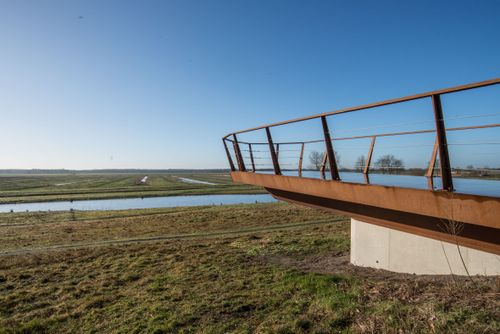
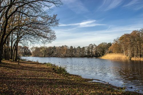
Vlijmens Ven is a nature reserve south of Vlijmen. It is part of a larger marshy area that also includes De Moerputten and the Bossche Broek. This low-lying area was formerly used as a spillway for the water flowing off the southern sand ridges. The area now has that function again, to prevent flooding in 's-Hertogenbosch.
You walk along the Heidijk and from there the danger of the water cannot be seen. But the dike has been there for hundreds of years for a reason. It was built as early as 1359! Should high water threaten to flood the area, as it did in 1995, the areas south of 's-Hertogenbosch and on the outskirts of Vlijmen can be flooded. A total of 750 hectares of water storage area is involved.
You walk ...
Vlijmens Ven is a nature reserve south of Vlijmen. It is part of a larger marshy area that also includes De Moerputten and the Bossche Broek. This low-lying area was formerly used as a spillway for the water flowing off the southern sand ridges. The area now has that function again, to prevent flooding in 's-Hertogenbosch.
You walk along the Heidijk and from there the danger of the water cannot be seen. But the dike has been there for hundreds of years for a reason. It was built as early as 1359! Should high water threaten to flood the area, as it did in 1995, the areas south of 's-Hertogenbosch and on the outskirts of Vlijmen can be flooded. A total of 750 hectares of water storage area is involved.
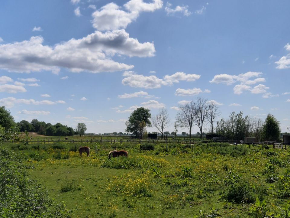
You walk halfway along the route over the bluegrass meadow which is rare in the Netherlands. Because of the development in Vlijmens Ven the amount of blue grassland has doubled! It is special because it is a sparse wet grassland with a rich variety of plants. In spring you can enjoy the colorful fields here.
You are going to see this
5251 WE Vlijmen
5251 WE Vlijmen
Description
5251 WE Vlijmen
The route is not plotted based on the junction network. You walk the route using this online route page with your mobile device. You can also download the gpx file and walk the route using your smartphone or navigation system.
- By clicking on the pins on the map, you can read more information about the exit points and points of interest along the route.
5251 WE Vlijmen
