Taking routes
the most beautiful hiking, biking and MTB routes and equestrian and boating trips you can take in De Langstraat
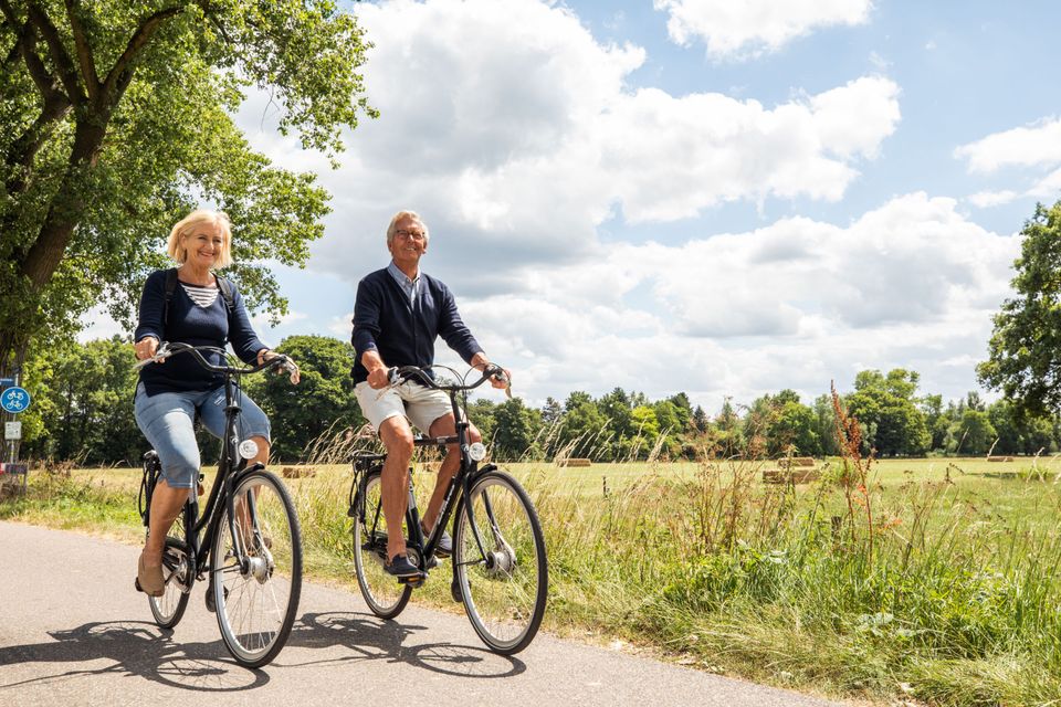
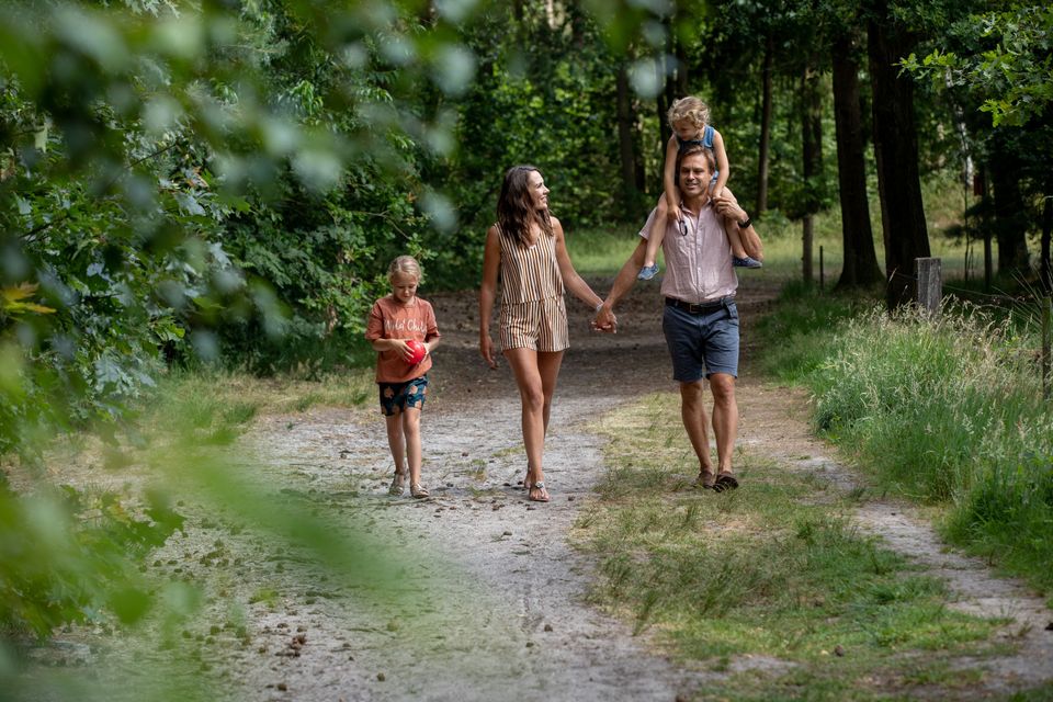
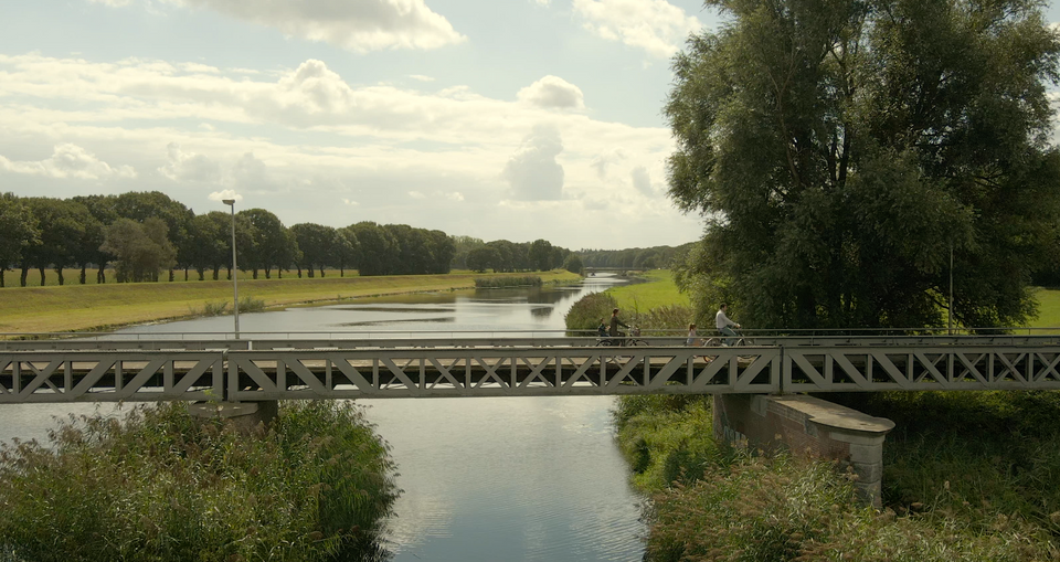
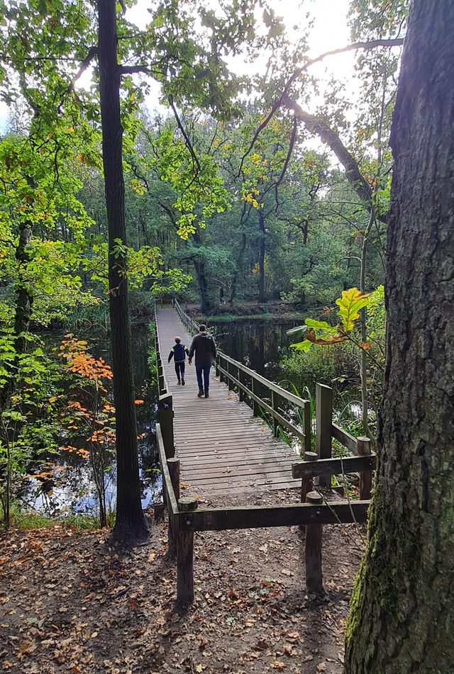
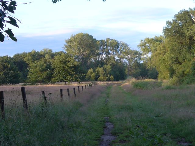
Explore De Langstraat and walk through fortified towns and along the mighty Zuiderwaterlinie. Or cycle through villages, dunes or the watery landscape of the Biesbosch.
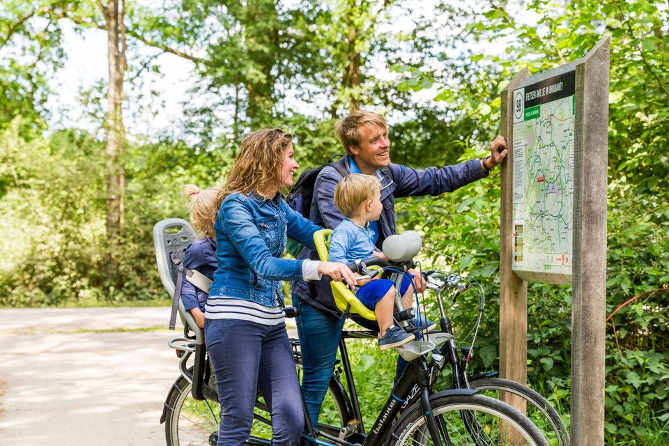
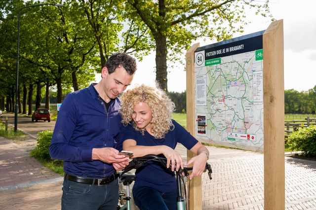
With up-to-date walking and cycling maps, available at our Tourist Information Points, you can map out your route via junctions. Via the intricate route network, equipped with the necessary rest and information points along the route, you can reach the most beautiful spots and learn more about the region. Do you prefer a theme route, for example about the history of the leather industry, World War II or regional products, or other pre-mapped (city) routes? These are also widely available at our TIPs.
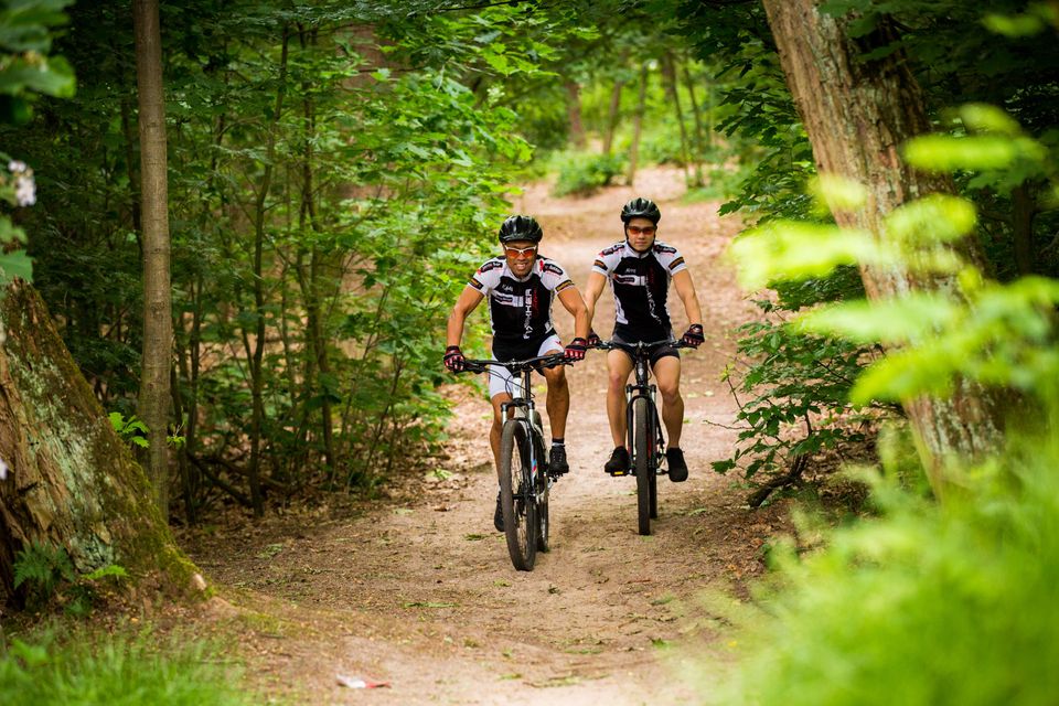
For the daredevils, there are two mountain bike routes in De Loonse en Drunense Duinen. And water sports enthusiasts are also well catered for with waterways like the Bergsche Maas, Oude Maasje, and National Park the Biesbosch.
Which route do you choose?
-
Fortress to fortress route; Geertruidenberg - Heusden
Fortress to fortress route; Geertruidenberg - Heusden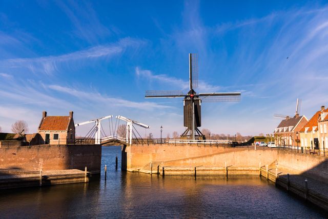 (66.8 km)
 -
Sint Jan de Doper bicycle route De Langstraat south
Sint Jan de Doper bicycle route De Langstraat south (36.9 km)
 -
Sint Jan de Doper bicycle route De Langstraat west
Sint Jan de Doper bicycle route De Langstraat west (39.5 km)
 -
Sint Jan de Doper bicycle route De Langstraat north
Sint Jan de Doper bicycle route De Langstraat north (39.9 km)
 -
Sint Jan de Doper bicycle route De Langstraat east
Sint Jan de Doper bicycle route De Langstraat east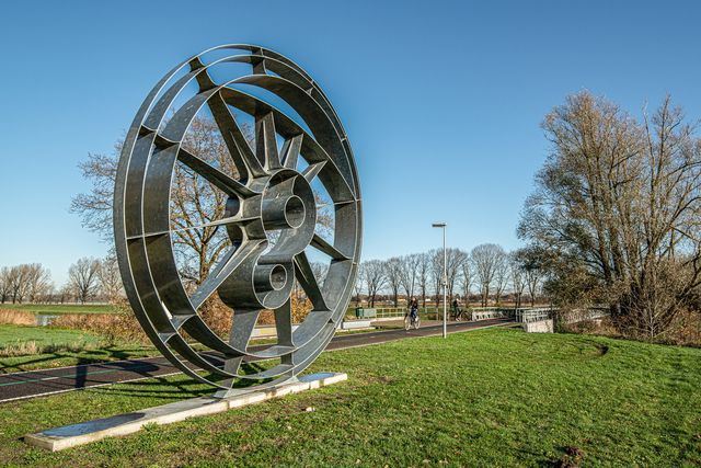 (39.7 km)
 -
Hugo de Groot walking route stage 3
Hugo de Groot walking route stage 3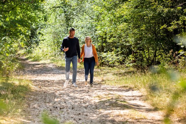 3 hours 20 minutes (16.4 km)
 -
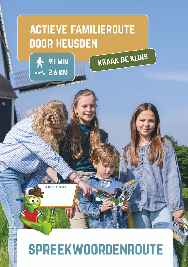
City walk Heusden: walking on fortifications
City walk Heusden: walking on fortifications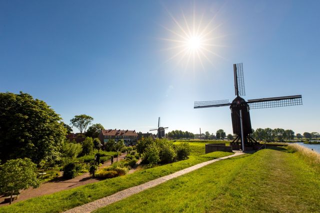 1 hour 30 minutes (3.5 km)
Rent a bike, scooter or... hot air balloon
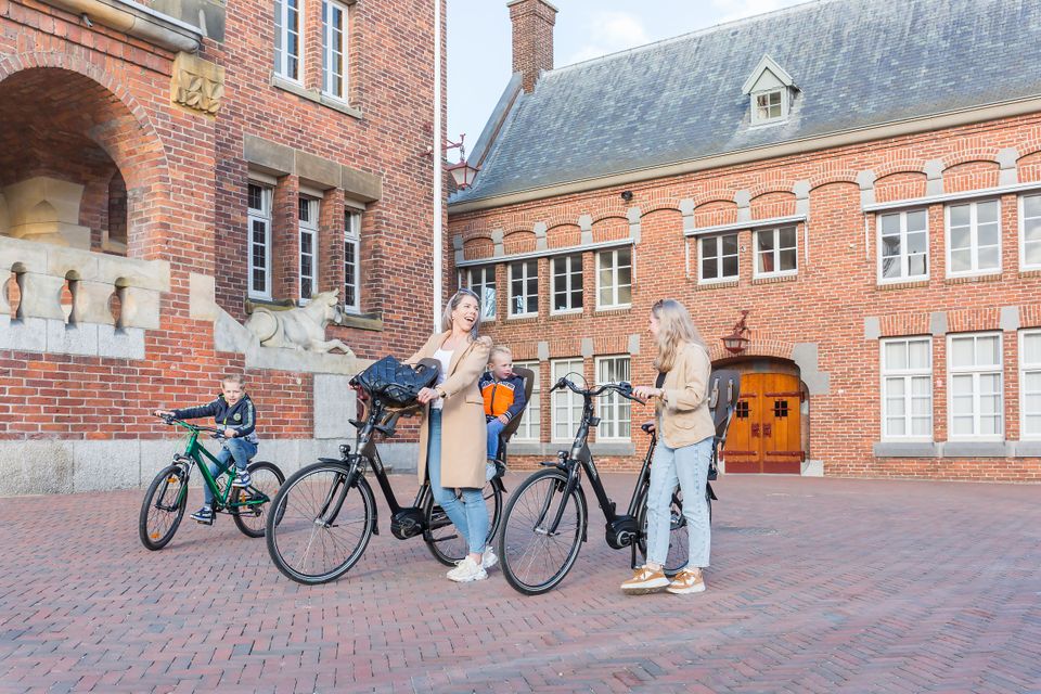
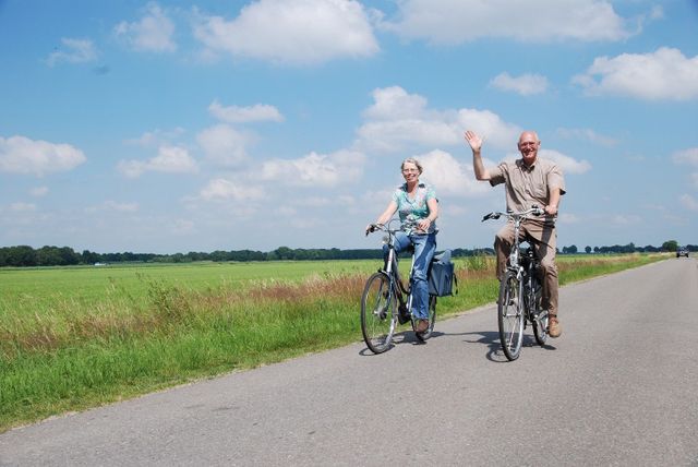
Want to do a bike tour in De Langstraat region, or enjoy cycling around on your own, but didn't bring a bike? No problem! There are several places in De Langstraat where you can quickly and easily rent safe bikes. For example in Loon op Zand, Kaatsheuvel, Heusden or Geertruidenberg. From city bike to e-bike or a mountain bike. And from children's bikes to tandems. Do not forget the surprising alternatives, such as the balance bike, scooter, solex, tuktuk or even a hot air balloon. The choice is enormous. Have fun!
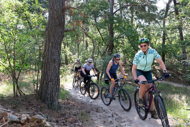
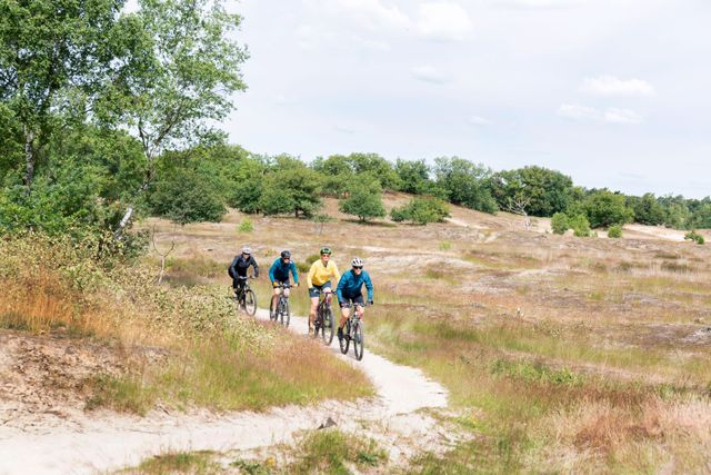
mountain biking in De Loonse en Drunense Duinen
Mountain bikers get their fill on the green route of 16 kilometers, for beginners, and the tougher black route of 26 kilometers. Please note: vignette required!
Explore the routes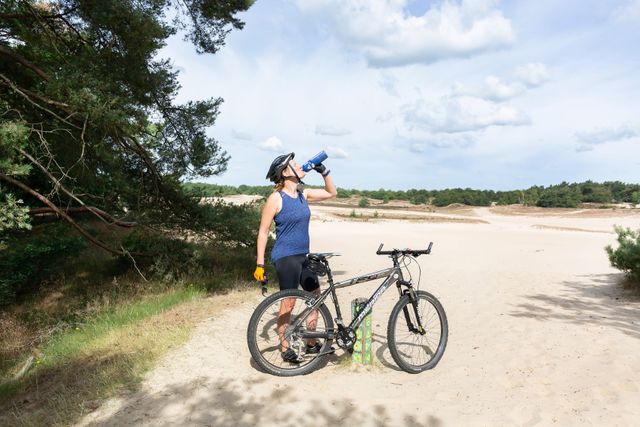
Hours of route fun - be inspired by our itinerary tips
-
Halvezolenroute
Halvezolenroute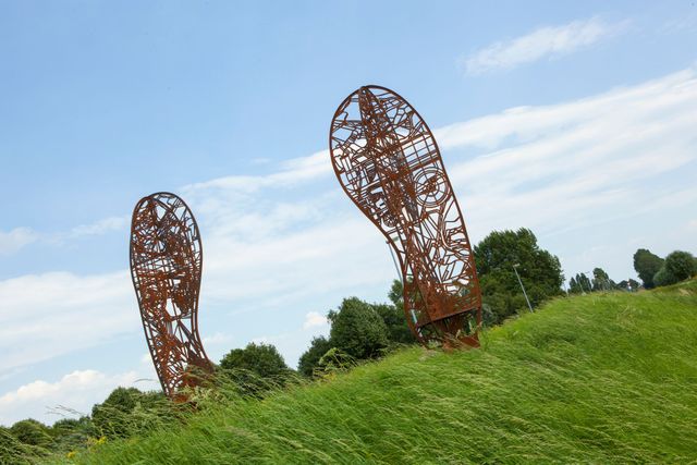
Today, the Halve Zolen railroad serves as a bicycle path. The route of over 20 kilometers runs from Geertruidenberg to Drunen. The Halvezolenroute tells the story of De Langstraat. In addition to five impressive works of art, there are animated films and poems. The images can be viewed and listened to via the cycling and walking route app 'Brabant Vertelt'.
Have fun!
-
ExperienceRoutes municipality Loon op Zand
ExperienceRoutes municipality Loon op Zand
With the free interactive BeleefRoutes app, you have your personal guide in your pocket. The walking routes 'Huis ter Heide','Walking in historic Loon op Zand', 'Tracking in Loon op Zand' and 'Animal world in De Loonse Duinen' offer hours of walking fun. A short bike ride is also possible. Then choose 'Roversbende van de Witte Veer' and'Fietsroute Flora & Fauna in Pauwels'.
Have fun!
-
Fortified city at the Biesbosch
Fortified city at the Biesbosch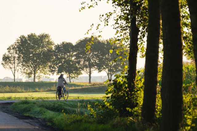
In Geertruidenberg, nature is always around the corner. The Biesbosch forms the backdrop of winding bike paths. Walking routes along the Zuiderwaterlinie take you back in time. Thanks to the rich route network in Brabant, you choose your own path. Get on your bike, put on your walking shoes and enjoy the space in Brabant fortified town on the Biesbosch Geertruidenberg, Raamsdonksveer, Raamsdonk and surroundings.
-
Hiking at the Zuiderwaterlinie
Hiking at the Zuiderwaterlinie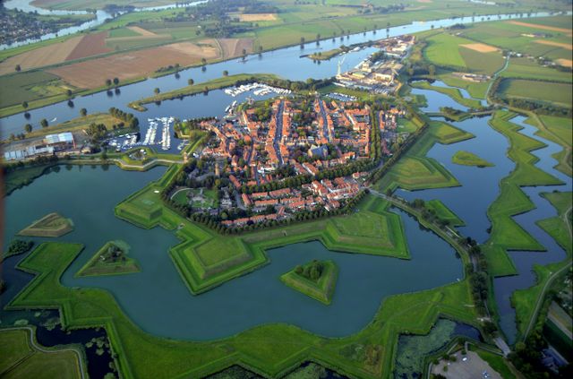
The Zuiderwaterlinie is the oldest, longest and most used of all the Dutch water lines. All the way from Bergen op Zoom to Grave. A unique chain of 11 Brabant fortified towns and their surrounding countryside, connected by the typical Dutch story of defending with water. Walk the Zuiderwaterlinie hiking trail via nodes! The deluxe walking guide is available at our TIPs.
Have fun!
-
Bicycle route Line 1629
Bicycle route Line 1629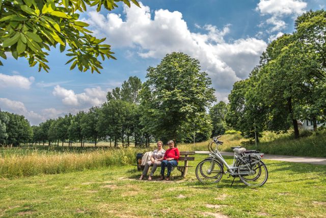
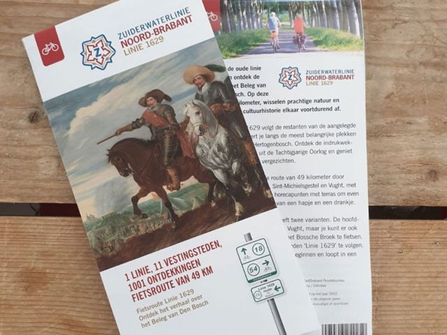
Discover the bike route Linie 1629 with the special time travel app! Two eyewitnesses from the Eighty Years' War take you on a journey and tell you about the exciting historical events during the Siege of 's-Hertogenbosch. Beautiful nature and impressive cultural history constantly alternate in this bicycle route through the municipalities of Vught, Sint-Michielsgestel, Heusden and 's-Hertogenbosch.
Have fun!
-
Horseback riding in De Loonse en Drunense Duinen
Horseback riding in De Loonse en Drunense Duinen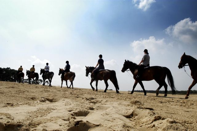
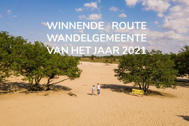
What could be better than riding across a shifting sand plain on your horse? You can in De Loonse en Drunense Duinen! There are also numerous bridle and bridle paths throughout the area. A rider's pass is required, and you can plan your route using the area's map. This map is for sale for €3,50 at Manege van Loon's Nature Gate in Loon op Zand.
Have fun!
-
Autoroute Zuiderwaterlinie
Autoroute Zuiderwaterlinie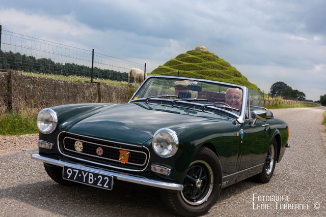
Experience the Zuiderwaterlinie from the car! The tourist car route in Brabant consists of four stages that take you along the Zuiderwaterlinie. Experience each stage a piece of this beautiful waterline. Discover the beautiful roads to the picturesque villages and beautiful natural areas that North Brabant has to offer.
Have fun!
-
Long-distance bicycle routes
Long-distance bicycle routes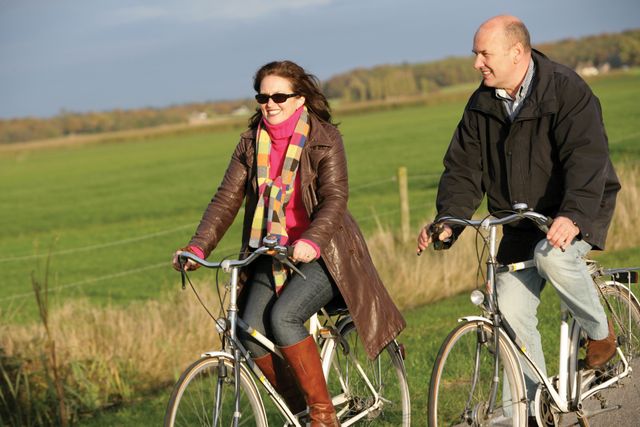
LF-routes - in full Langeafstand Fietsroutes - are ideal for planning your multi-day cycling trip. There are some 3900 kilometers of signposted LF-routes in the Netherlands through farmland, across extensive moorland, through town or just along the coast. There are also routes that call at De Langstraat, namely LF7 Overlandroute and LF9 NAP-route. Find the route of your taste on the website Nederland Fietsland!
Have fun!
-
Camino Brabant
Camino Brabant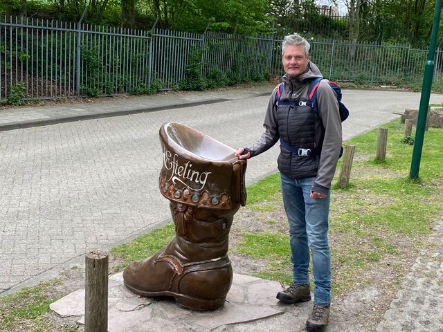
A signposted pilgrimage walk of almost 300 kilometers through the beautiful Brabant countryside! That is Camino Brabant. The route consists of 13 stages. Stage 11, 12 and 13 run through the De Langstraat region. At the various Marian chapels and churches along the route you collect stamps (about 50 pieces). You can recognize the route by the red signs with a white shell.
Have fun!
-
Long-distance hiking trails
Long-distance hiking trails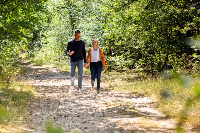
LAW routes - in full Langeafstand Wandelroutes - are ideal for planning your multi-day hike. There are some 11,500 kilometers of marked LAW routes in the Netherlands, as much as possible on unpaved paths and roads, through forests, moors or along villages and towns. There are also routes that call at De Langstraat, namely Pelgrimspad 1 and Hertogenpad. Also regional path Biesboschpad leads you through De Langstraat. Find your route on Wandelnet!
Have fun!
Get out and about in the Langstraat - route garden in Brabant
You cannot view content because you have not yet accepted cookies. Please click the button below to accept cookies.
Set cookies manually
