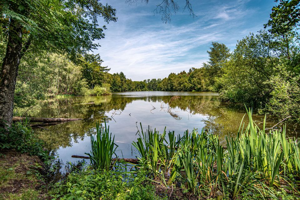
Walking route Baardwijkse Overlaat
1 hour
(5.2 km)
Using the walking junction network, you can travel the most beautiful routes, such as this six-kilometer hike. Simply follow the node numbers on the posts from one numbered node to the next.
Explore the Baardwijkse Overlaat, located between Waalwijk and Drunen. This area was formerly used to allow water to flow into the spillway when the Meuse River was high. This prevented dike breaches elsewhere.
You are going to see this
Starting point: end street 56
5151 AE Drunen
5151 AE Drunen
76
75
63
38
39
65
64
1
Tourist Information Point (TIP) Waalwijk
Raadhuisplein 15141 KG Waalwijk

End point: end street 56
5151 AE Drunen
5151 AE Drunen
Description
Starting point: end street 56
5151 AE Drunen
5151 AE Drunen
- The route is completely plotted based on the walking junction network. Simply follow the node numbers on the posts, from one numbered node to the next. You can also download the gpx file and walk the route using your smartphone or navigation system
End point: end street 56
5151 AE Drunen
5151 AE Drunen
- 76
- 75
- 63
- 38
- 39
- 65
- 64
